


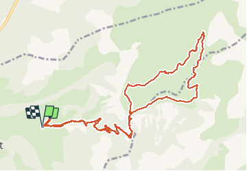

19.5 km | 44 km-effort


User


FREE GPS app for hiking
 SityTrail
IGN / Geographical institutes
SityTrail World
The world is yours!
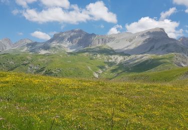
Trail Walking of 15.3 km to be discovered at Provence-Alpes-Côte d'Azur, Alpes-de-Haute-Provence, Le Vernet. This trail is proposed by RobinMicheline.
5 h de marche. 15 kms 770 M de dénivelé . Magnifique 4 fontaines sur le parcours marmottes chamois et surtout vaches super
Walking
Walking
On foot

On foot
On foot
Walking
Walking
Walking

Trail